Numerical model
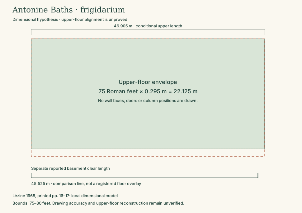
A drawing made from stated measurements can expose a publication’s argument. The frigidarium example keeps the reported basement length separate from the conditional upper-floor dimensions. Changing the width explores an estimate; it does not select the ancient building’s true dimensions.
Selective transcription
The Sidi Ghrib diagram, which redraws seven generalized room areas, is held back from this public copy until reuse permission for the source plan is settled. Source numbers connect each shape to the author’s description. It omits wall fabric, door details, mosaics and undigitized spaces. Curves and polygons simplify the printed geometry; no independent error estimate is available.
Registered archaeological plan
A GIS layer needs a known coordinate system, identifiable controls, independent checks, a scale appropriate to the question and explicit drawing conventions. The composite Carthage coast and Utica palaeogeographical panels need their underlying evidence and model histories before they can support measured overlays.
Rights and transmission
A vector version remains dependent on its source. Redrawing does not itself grant permission to republish a plate. These pilots remain in the local study build, with the publication and redrawing lineage retained. Public reuse of source-derived geometry requires a separate rights decision.